GO UP

Hiking

Saba The Ladder

The Ladder

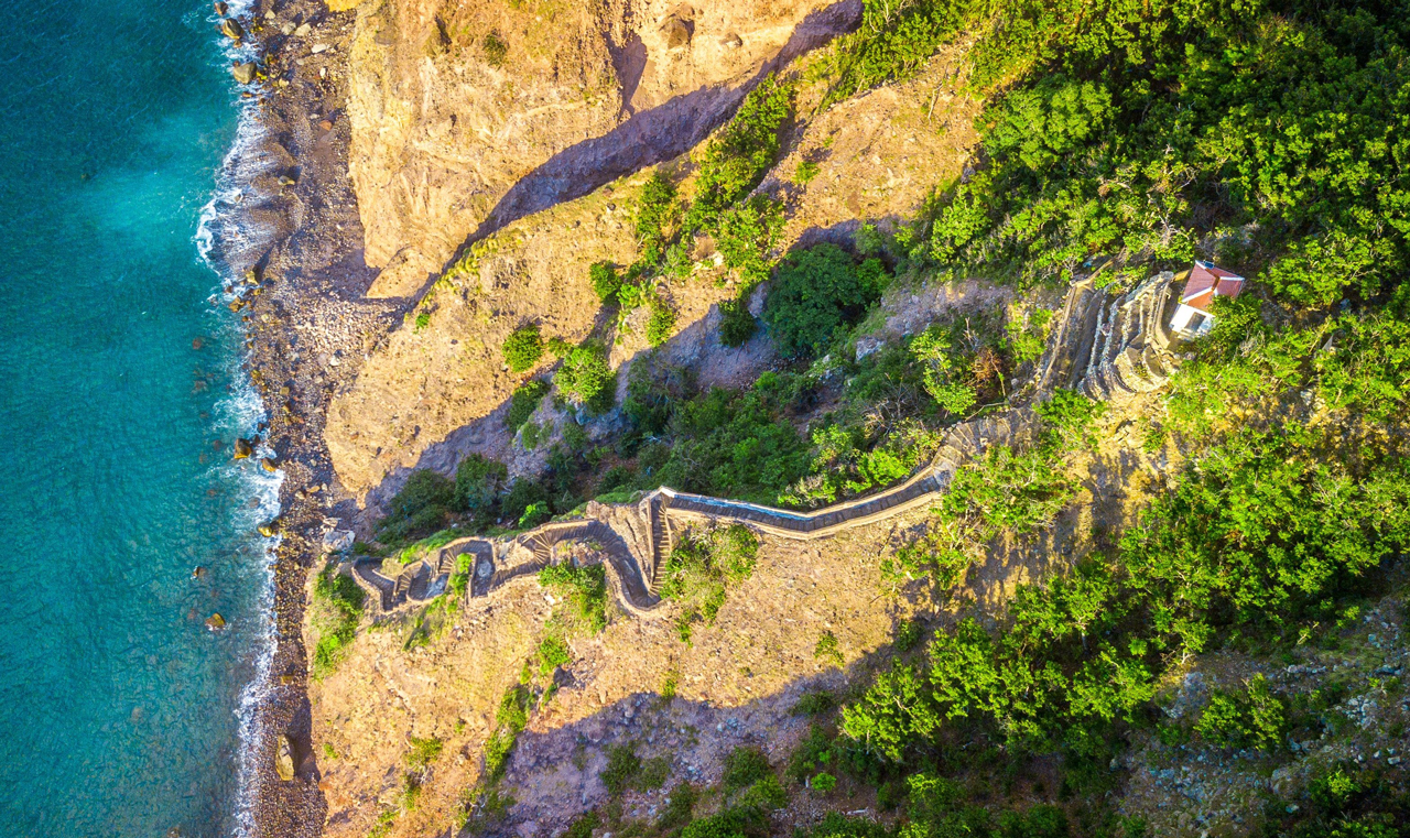
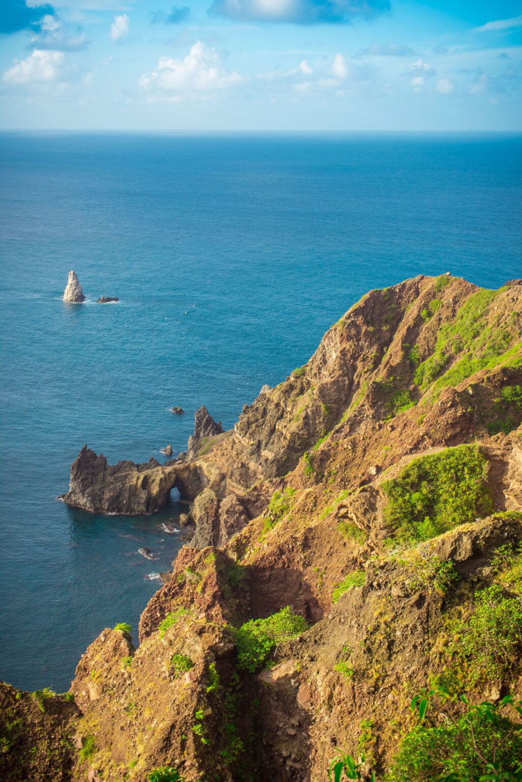
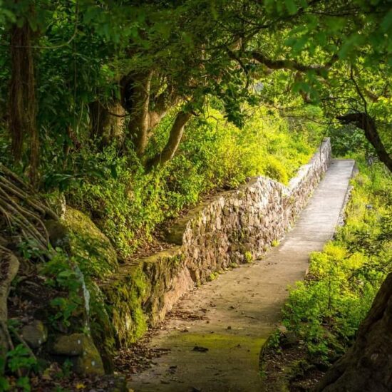
This trail starts in the village of The Bottom, past the hospital towards Wells Bay. A historical trail that was used to bring cargo ashore and up to the village. Different species of birds and trees can be seen along the trail. Trail takes around 1 hour round trip.

Saba The Ladder

Crispeen trail

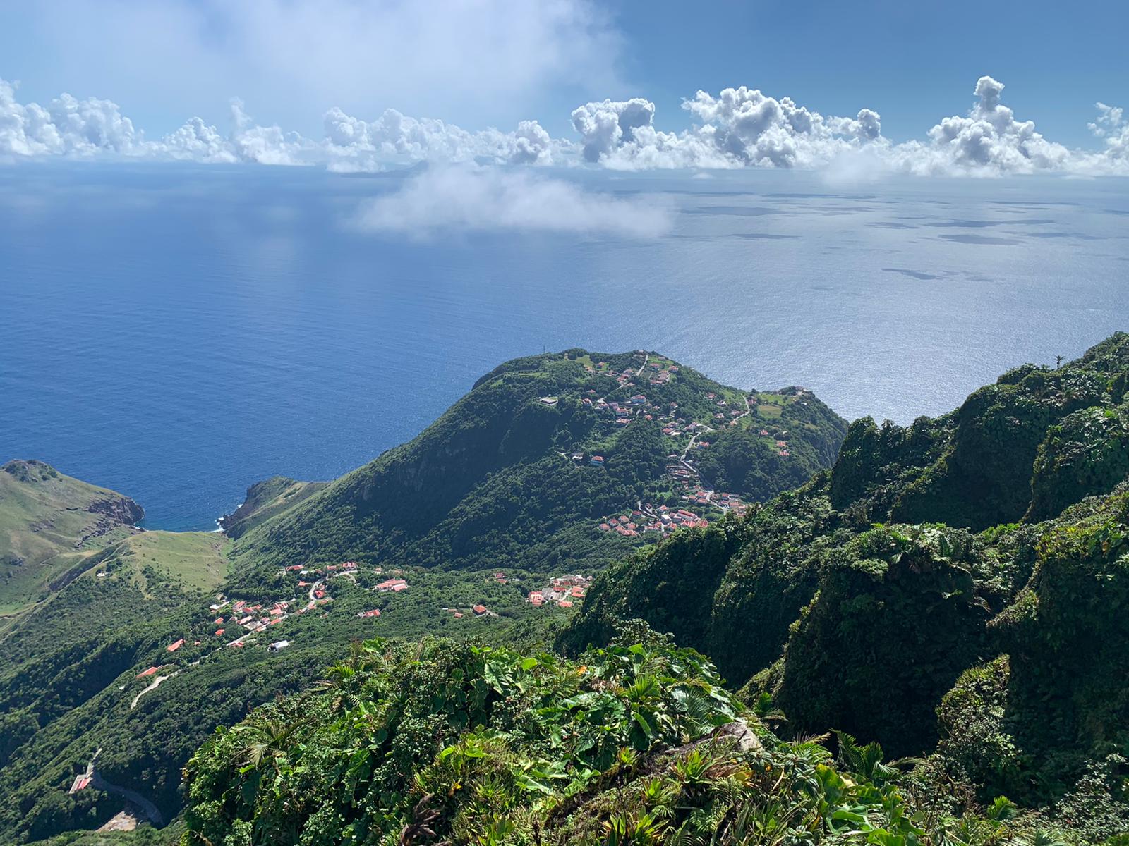
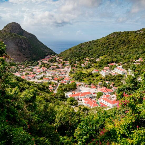
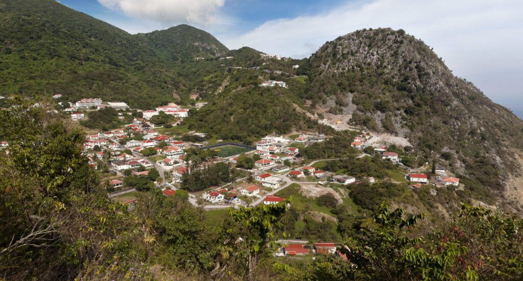
Can be started from the same area of the Mt. Scenery trail and is used to hike down to the Bottom. Hikers will encounter views of the Bottom and will be in secondary rainforest. Trail takes around an hour one way.

Crispeen trail

Mas’Cohones

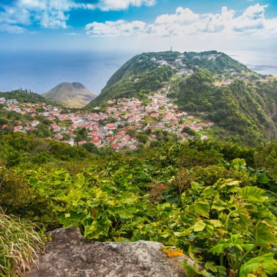
A short and relatively easy trail to hike for those who do not want to undertake the climb to the top. Hikers will be in secondary forest with a stunning view of Windwardside at the end of the trail.

Mt. Scenery

Trail can be started in the village of Windwardside and goes to the top of the mountain which is the highest point in the Kingdom of the Netherlands. The trail consists of 1,015 steps and since it is a rainforest hike, different types of flora and fauna can be seen. Parts of the trail can be muddy and slippery, so it is recommended to wear good hiking shoes and to bring a hiking stick. Once at the top of the trail, there will be 3 different viewpoints of the island. Trail takes 2.5 hours roundtrip.

Elfin Forest Trail

A new trail that was opened a few years ago as an alternative way to get to the top of Mt. Scenery. Visitors must first walk a part of the Sandy Cruz trail and then they will see the signs for the Elfin Forest trail. Trail can be quite slippery and muddy at times, so it is recommended to wear good hiking shoes and to bring a hiking stick.

Sandy Cruz Trail

Another rainforest hike with different viewpoints that is very popular. Can be started in either the villages of Hells Gate or The Bottom. Parts of the trail can be muddy and slippery, so it is recommended to wear good hiking shoes and to bring a hiking stick. Trail takes around 2.5 hours one way.

Sandy Cruz Trail

Bottom Mountain Trail

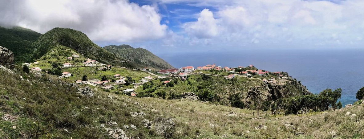
Trail can be started from the road opposite of Queen’s Gardens Hotel or the junction at Rendezvous. Hikers will mostly be in dry forest with a transition to rainforest occasionally. Various species of fruit trees grow along this trail such as mango, and Mammee Apple trees. Trail also has stunning views of Saba’s capital, The Bottom.

Tara Ground Trail

Can be accessed from the Bottom Mountain Trail. Trail features dense secondary forest, mango trees and since the area was once used for farming, some ruins can be found along the trail. To help find your way along the trail, orange trailblazing marks have been placed in various spots.

Buds Mountain Trail

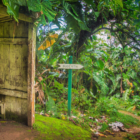
Trail can be started from the Bottom Mountain Trail and is an alternate way to go up or come down from the top of Mt. Scenery. Trail is situated in secondary rainforest with a transition to rainforest as you near the top. Trail can be slippery and muddy, so it is recommended to wear good hiking shoes and to bring a hiking stick.

Spring Bay

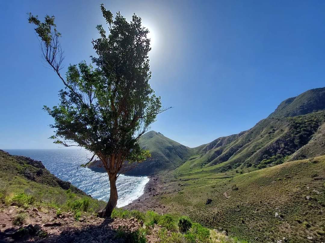
Trail can be started in the village of English Quarter or from Kelby’s Ridge near the airport. The trail consists of dry forest and scrub vegetation. The ruins of an old sugar cane boiling house can be found. The trail is long and hot, so it is recommended to take plenty water and sunblock on the hike. Trail takes around 2-3 hours one way.

Tidepools Trail

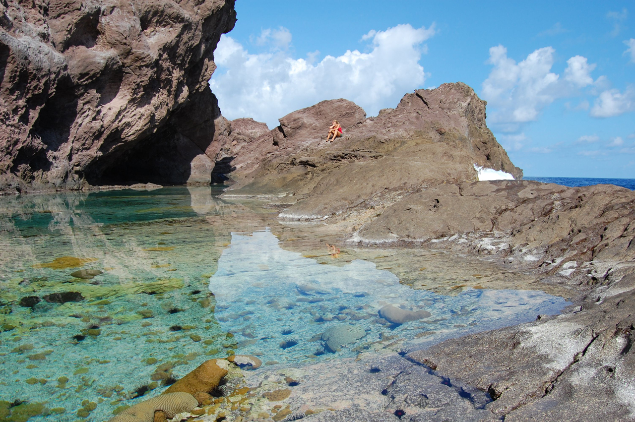
Trail can be accessed from the road below the airport that goes to Cove Bay. A short hike that’s perfect for those who want to see some of the marine life that inhabit the waters around Saba. At the beginning of the trail there is also the ruins of an indigo boiling house. Like the Tara Ground trail, orange trailblazing marks have been placed to help hikers find their way.

Saba Tidepools

Sulfur Mine Trail

Trail can be accessed by going down from Upper Hells Gate towards the airport, follow the side road that branches sharply to the left. The trail will start at the end of the paved road. A historical trail with the ruins of the old McNish Sulfur Mine. If hikers want to explore inside, they will have to arrange a guided hike with the SCF and Crocodile James. Trail also features views of Green Island, the airport, and is an important area for bird watching as the cliffs around the trail are a breeding area for the red billed tropic birds, and other species of sea birds.

Mary’s Point Trail

Can be accessed from the Wells Bay Road. Features the ruins of the first settlement on the island which was formed in the early 17th century with information boards placed in various locations to explain the history of the area. Trail also has views of the north side of the island, Wells Bay and Torrens Point.

North Coast Trail

Trail can be accessed from two locations either from the trail head in Lower Hells gate or from the Wells Bay Road. Trail is very strenuous and due to erosion and landslides, trail has been closed to regular hikers, and the SCF has recently decided to stop offering guided hikes due to the dangerous conditions of the trial.

All Too Far Trail

Trail can be accessed from the Sandy Cruz Trail or from the start of the North Coast trail from the Zions Hills village. Trail is very strenuous and meanders through 4 different ecosystems including dry scrub vegetation, and lush rainforest. No mobile phone connection along the trail.
Parish Hill Trail

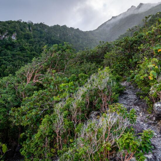
(Closed Mon-Fri due to goat culling): Trail can be started from two different locations, either behind the hospital or at the beginning of the road from the Bottom heading down to Fort Bay. Parish Hill is one of the younger volcanic domes on Saba (less than 100,000 years old) and has great views of the Bottom and St. Johns. The trail also features deep caves, but they should only be entered with an experienced guide and adequate equipment.

Dancing Place Trail

Starts between the villages of Windwardside and St. Johns at the monument. Trail is quite short and features views of the neighboring islands of St. Eustatius, St. Kitts, and Nevis.

Dancing Place Trail

Middle Island Trail

Trail can be found on the way to Wells Bay from the Bottom and starts close to the Ladder trail. It is another heritage trail with ruins of an old open cistern, farm stone walls, and a cavern. The trail also has views of Ladder Bay and Wells Bay.

Thais Hill

A new and relatively short trail that starts in St. Johns. Has amazing views of the Bottom, Fort Bay, and even some of the neighboring islands.

Giles Quarter Trail

This trail can be started from two areas. The first being from the Dancing Place trail or by the dirt road below the stone crusher at the eastern end of Fort Bay. Take enough water and sunblock as this trail is long and hot. Trail closed due to construction of the road between Black Rocks and Gary’s Pond.

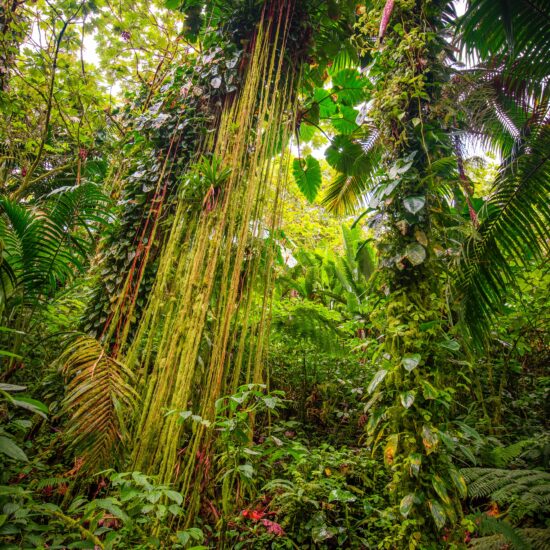
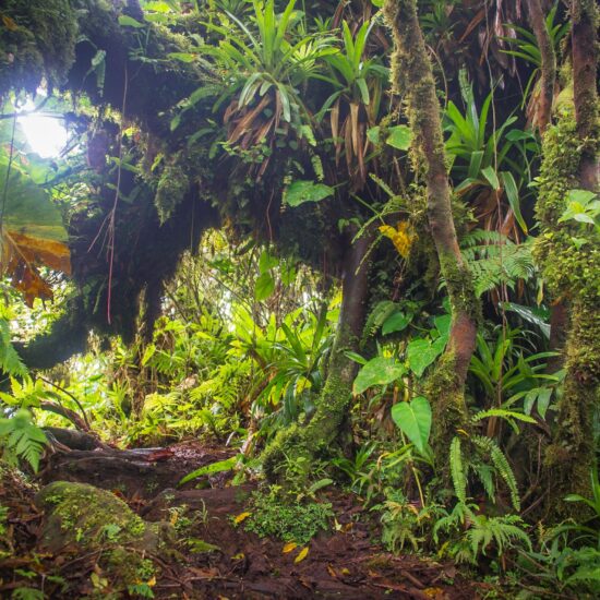
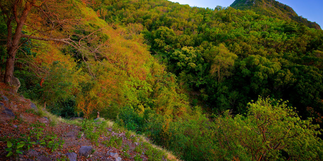
Hiking on Saba is a rewarding experience, the nature above the waterline is as unique and varied as that which lies below. The island’s vegetation varies with distinctive zones which are related to altitude and precipitation. The top of Mt. Scenery is more often than not enshrouded by clouds resulting in a cloud-forest environment. At slightly lower elevations rain-forest vegetation is present. Humidity decreases as one descends and the vegetation reflects the drier climate. Plants and trees found close to shore have adapted to the salty environment.

The Summit of Mt. Scenery

Mt. Scenery is the highest point in the Dutch Kingdom (877m or 2877ft) and is Saba’s dominant feature. Dense vegetation with a variety of species covers the summit and upper slopes. The Elfin Forest (cloud-forest) dominates the upper 50m (150ft) of the mountain and is comprised of Mountain Mahogany covered with Epiphytes, Orchids and a myriad of other unique and rare plants.

Lower slopes

Just below the summit, Mountain Palms, Tree Ferns, Elephant Ears and Heliconias dominate.
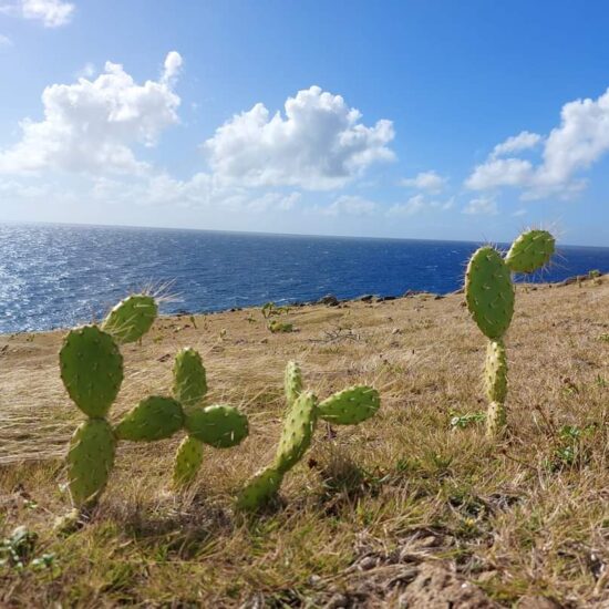
Secondary rainforest and dry evergreen forests are found lower down on the slopes. Species in this zone include Redwood, Sea Grape, White Cedar and Turpentine trees as well as Cacti species such as the Prickly pear. Closer to the sea, grassy meadows with scattered shrubs predominate. Steep cliffs and bluffs can be seen throughout the island with several sheer walls rising over 100m (330ft). Due to its rugged terrain, Saba does not have typical Caribbean beaches but there are several sandy bays that change with the prevailing ocean swells.

One of the shorter hikes in Saba is the climb down to the Tide Pools at Flatpoint. It’s one of the few hikes that doesn’t take you through one of the different types of forest on the island as it is located at the coast of the island. The tide pools are small enclosures between cliffs and rocks which are filled with seawater and are the end product of an ancient lava flow. Here you have dramatic views of the Caribbean Sea and the northeast side of the island. At certain times there is a rip current warning, because of incoming waves which can be very dangerous. Check with the Trail Shop before heading out on any hike for updated information on conditions and closures.

Flora and Fauna

Saba’s plant and animal life is a mixture of native and introduced species. This occurred hundreds of years ago and it is very difficult for the average tourist to tell the difference today. Mangobanana, Black-Eyed Susan, tree frogs, goats and chickens were all brought to the island. Some of our endemic species are the Saban Anole lizards (found only on Saba), Green Iguanas and Red-Bellied Racer Snakes (completely harmless).

Saba is home to over sixty species of birds, many of which are seabirds. Bridled TernsSooty Terns and Brown Booby birds breed every year in late spring on Green Island. Red-Billed and White-Tailed Tropicbirds nest in the high cliffs while Frigate Birds and Brown Boobies soar near the coast. Other feathered visitors include the Common Ground-DoveBridled Quail DoveRed-tailed HawksThrashersHummingbirds and Bananaquits.

Visit the Tide Pools to get a spectacular view of marine life in the crystal clear water, including; different types of sea urchins, little colorful fish and sea flora.

View the Latest SFC Trail Advisory

SCF Trail Advisory March - May 2024.pdf

View the Nature and Hiking Brochures

Hiking/Nature Brochure

Mary's Point Trail Information & Map

While enjoying the beauty of Saba’s scenery here are a few things to keep in mind:

  • Take only pictures. Leave only footprints!
  • Have you told someone where you’re going and when you’ll be back?
  • For your safety, stay on the trail and watch your footing
  • All trails cross private land – please respect this privilege
  • Don’t pick the fruit trees – they belong to someone
  • Use the trash bins for all waste (pick up other garbage if you see it)
  • Pick up after your dog and keep it under control at all times
  • Be sure to carry sufficient water and use sunblock
  • Do not disturb plants or wildlife – it is against the law to do so!
  • Have your Official Saba Nature Whistle available for a Trail Ranger upon request
  • Report all violations of these rules to the Trail Shop (416-2630)

Trail Duration & Rating

Saba Has 20 different hiking trails.

Trail Name

Duration

Rating

The Ladder

30 minutes one way

Moderate

Crispeen Track

1 hour one way

Moderate

Mas’Cohones Trail

20 minutes one way

Easy-Moderate

Mt. Scenery Trail

90 minutes one way

Strenuous

Elfin Forest Trail

1 hour one way

Strenuous

Sandy Cruz Trail

2.5 hours one way

Moderate

Bottom Mountain

1 hour one way

Moderate

Tara’s Ground

45 minutes on way

Easy-Moderate

Buds Mountain

1.5 hours one way

Moderate

Spring Bay Heritage Trail

2.5 hours one way

Strenuous

Flat Point “Tide Pools”

25 minutes one way

Easy

Sulfur Mine

40 minutes one way

Easy

Mary’s Point

1 hour one way

Easy

North Coast Trail

(No more guided hikes with SCF)

3.5 hours one way

All too Far Trail

2 hours one way

Strenuous

Parish Hill Trail

(Closed Monday-Friday)

Goat culling in progress

1.5 hours one way

Moderate-Strenuous

Dancing Place Trail

20 minutes one way

Easy

Middle Island Trail

40 minutes one way

Moderate

Thai’s Hill

15 minutes one way

Easy

Giles Quarter Trail

1.5 hours one way

Strenuous

Do not attempt to hike any of Saba’s trails without adequate footwear, clothing or water. A walking stick is invaluable (as trails can be treacherous after rainfall) and ALWAYS tell someone about your hiking plans!


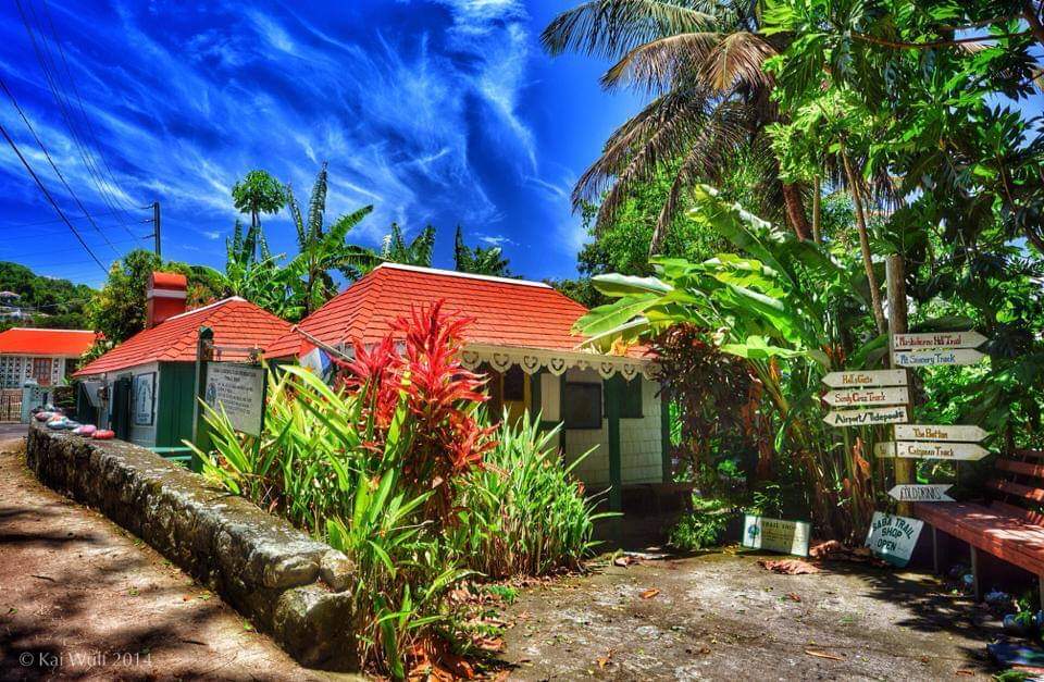
The Trail Shop is located at the foot of the Mt. Scenery Trail in the village of Windwardside. If you’re planning on hiking, stop here first for information and tips on getting the most out of your Saba expedition. Your hotel will collect a $1 nature fee per night for trail upkeep, and guests can pick up a whistle at the Trail Shop. Trail maps, various gifts, books and souvenirs can be purchased here.

For guided hikes, visitors must call the Saba Conservation Foundation at +599 416 3295. Guided hikes on the North Coast Trail have been stopped due to erosion along the trail.